Traces of the Earthquake in the Deep
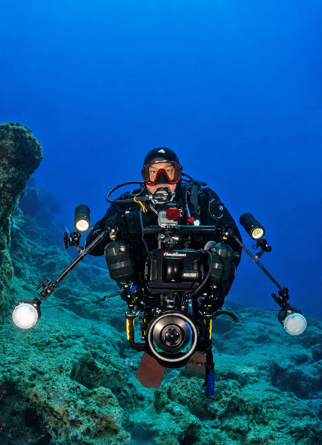
Text and photographs: Tahsin Ceylan
From the Naviga archive. The text reflects the account and observations of the period in which it was first published.
We were in Hatay to record the traces the earthquake had left underwater. With the support of the Coast Guard Mediterranean Regional Command, we began at the Syrian border off Samandağ and dived along the shores of Konacık, Arsuz, Madenli and İskenderun. Rear Admiral Oğuz Bavbek, Commander of the Coast Guard Mediterranean Region, Mahmut İğde, instructor and manager of the Keldağ Diving Centre, and the Coast Guard Degak teams accompanied us. On our dives starting from the Syrian border, our first stop was Bilgetaş Cave (the Great Cave), the largest diveable underwater cave in Türkiye. A favourite among our fellow divers, whether the cave had survived intact was a question on everyone's mind.
The aftershocks in the region only deepened those worries. The cave, entered at a depth of 22 metres, is in fact a dry-land cave from an earlier era, complete with stalagmites and stalactites. It was left underwater as sea levels rose in the wake of tectonic fracturing. Scientists believe this formation took shape after the last ice age.
The fault beneath the water
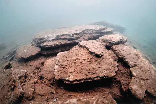
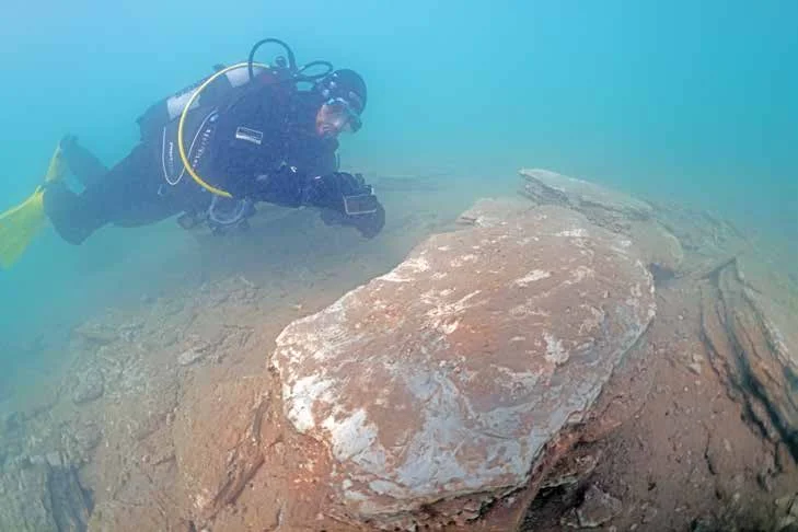
In the end we summoned our courage, decided to enter the cave, and recorded that it had suffered no damage. Along the shoreline we identified broken rock in many places. The greatest destruction to the coastal habitat, however, we recorded at Arsuz. A fisherman we met pointed out to us the stretch where the fault line had ruptured most violently. We dived into the streambed beside the completely collapsed Arsuz Hotel, where the fault line runs. In the murky water we tried to capture as much footage as we could. Surveying the area took five dives a day. Afterwards we filmed the shoreline of the Madenli region with a Coast Guard drone.
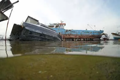
As our final stop, we recorded the section of the breakwater at the İskenderun Fishing Shelter that had shattered and largely collapsed. Passing over the breakwater underwater, we reached the lighthouse. We observed that the İskenderun port area and its shoreline had subsided by roughly 1 to 1.5 metres. We learned from the harbour master that this whole area is reclaimed land. In the Samandağ region, local fishermen told us that sand hills had formed between 120 and 180 metres from the shore, that their bottom nets were snagging on them, and that they could read this on their seabed sonar.
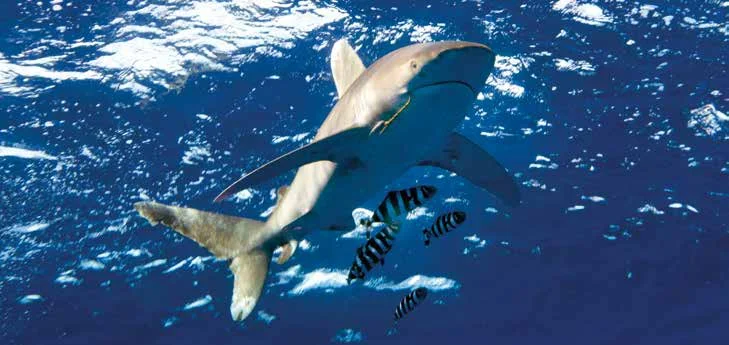
Mahmut İğde, manager and instructor at the Keldağ Diving Centre, one of the region's dive schools, told us they would rise from their ashes; that they would keep contributing to Hatay's return to its former days in tourism and to making its underwater world known; and that, in spite of everything, they would pull themselves together and go on introducing divers to the beauty beneath the surface as soon as they could. It lifted all our spirits. Hatay's shoreline, after all, is the first point of entry into Türkiye for exotic species and is home to a wonderful biodiversity.